Mapping terrain and features for planning and design
Boundary demarcation, land subdivision, and titling support
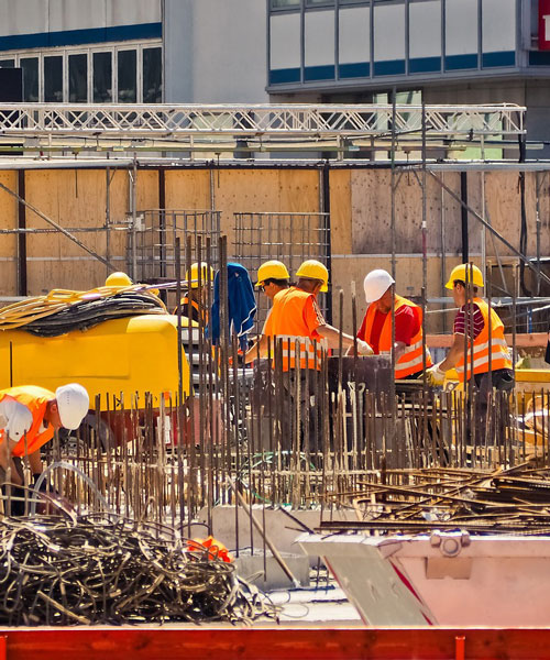
Control surveys, construction layout, and monitoring