
A professional land surveying
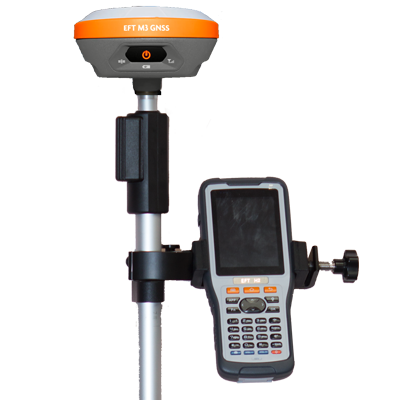
We combine modern technology and skilled expertise
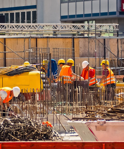
To ensure accurate results that empower decision-making for both private and public sector clients

innovative solutions in land and engineering surveying
Strong commitment to quality, integrity, and customer satisfaction.
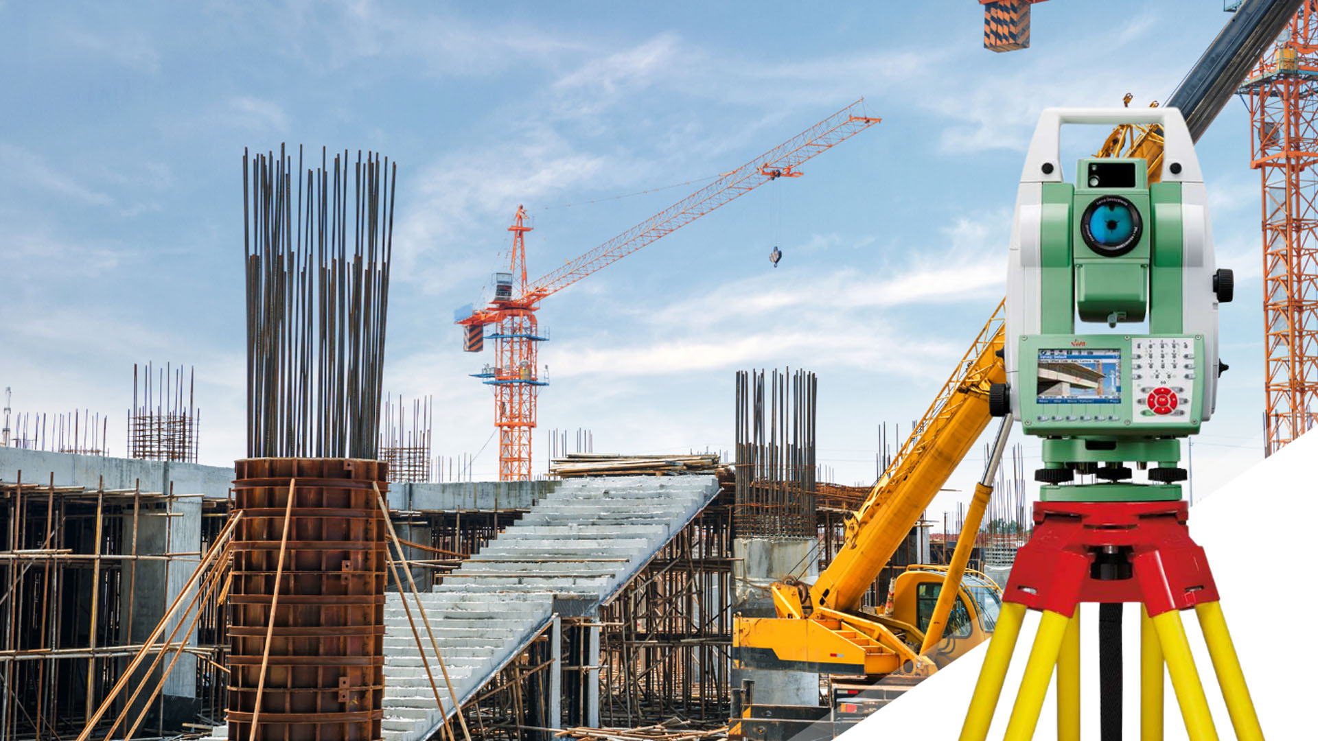
We provide advanced surveying services


.jpeg)